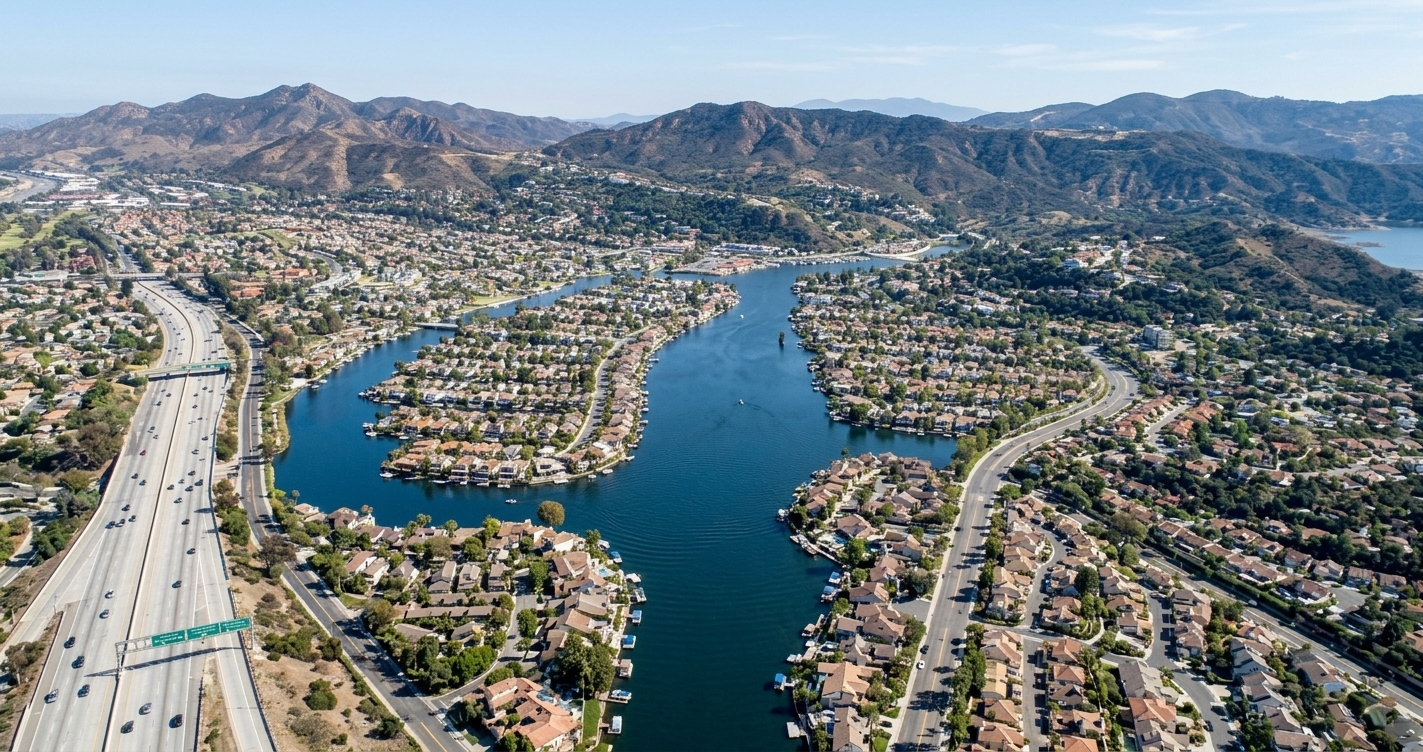
The aerial view behind this page captures the heart of Westlake Village, where Westlake Lake and the surrounding Santa Monica Mountains frame a community split by the Los Angeles‑Ventura county line. South of US‑101, the 91361 ZIP code embraces the lake basin and core neighborhoods, while the area north of the freeway falls under 91362, covering North Ranch and other residential districts. A small PO Box zone, 91359, also serves the city. This map‑ready overview clarifies how the dual‑county reality shapes municipal services, school districts, and local business networking, giving residents, home‑buyers, and entrepreneurs a clear picture of where each ZIP code resides within the town’s distinctive geography. By visualizing these boundaries, stakeholders can better understand the unique layout of Westlake Village’s neighborhoods and make informed decisions about where to live, work, or connect.
To grasp the geographic complexity of Westlake Village, California, it helps to start with its 1960s master‑planned origin—a 12,000‑acre ranch that was envisioned as a “city in the country.” When the community was formally incorporated on December 11, 1981, the sprawling parcel was s...